Dundry Hill
Dundry, just outside central Bristol, is full of beautiful fields with amazing views of Barrow Gurney Reservoirs and the surrounding rolling countryside. There are many walks you can take here, but this 2 mile circular walk starts at the car park and takes about an hour to walk.
Walking directions
1. To get to Dundry Hill circular walk, park in the Downs Road Car Park (BS41 8LQ). Next to the car park is a big gate with a footpath sign, unfortunately, the stile on this gate isn’t dog friendly at all, so you will either need to lift your pup up and over, or small dogs can go about get under the gate.
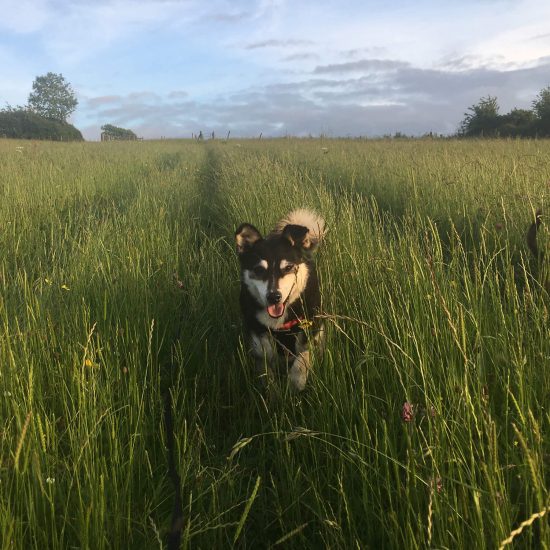
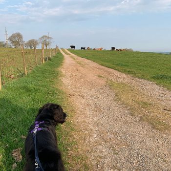
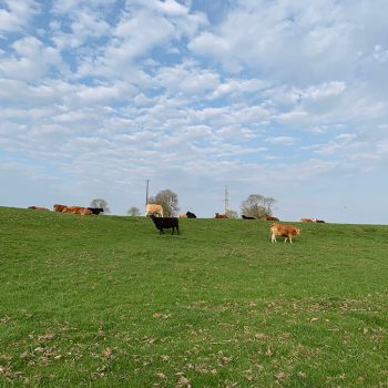
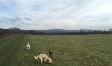
2. Follow this path across the field (there are sometimes cows and sheep in here, so please make sure your dog is on a lead). A lot of people walk dogs there so you can skirt around them pretty easily.
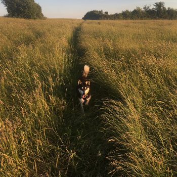
3. Soon you will see 2 pylons, with a stone stiles nearby. These stiles are tricky and unfortunately aren’t too dog friendly! So either lift your dog or if confident and agile, they can hop over. If you take the stile to the right, there are absolutely stunning views over Barrow Gurney Reservoirs and Bristol (there are sometimes cows in here too). Or hop over the left-hand stile and land in a lovely wildflower field with views over the reservoirs. This view makes those stiles totally worth it! If walking in the right hand field, walk around until you reach a gate at the bottom which takes you to the wildflower field.
4. In the corner of the wildflower field, you will see a footpath sign, this will take you through a farm. Walk straight through and follow the public footpath signs to walk through the farmer’s gate to another wildflower meadow (marked Monarch’s Way). Note: You can explore alternative routes from the farmhouse and head downhill towards the reservoirs if you want a more scenic walk.
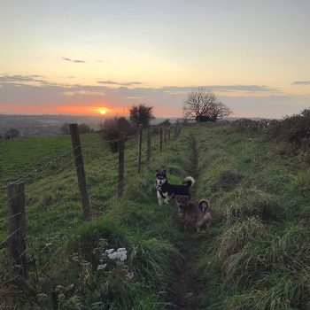
5. Walk straight across the next field until you reach a small green lane. Turn left and follow the wall on your left until it brings you to Elwell Lane.
6. Walk down Elwell Lane, until you meet Winford Lane. Walk until you meet Downs Road again and this will take you back to the car park.
Want a longer walk? You can extend this route further by turning off Crabtree Lane (before the school), this will take you into a field next to the school playing fields. Follow this path to Samaritans Way, where you and your pup can walk back towards the village and Church near the car park.
View this post on Instagram
The history
‘It is thought that Dundry Hill derives its name from ‘Dun’ or ‘Draegh’, signifying a hill of oak. The hill lies on a roughly east/west axis from the A38 right across to the Iron Age Fort at Maes Knoll and rising to over 700 feet forms a green back cloth for the whole of south Bristol. Dundry Hill was formed when the earth’s crust settled early in the Carboniferous time (350 – 279 million years ago). It was during this time that the famous Dundry Freestone was deposited, forming a cap over the length of the hill. Quarrying of the Dundry Freestone began in Roman times and it was used extensively in the 12th to 15th centuries to build many of the local churches and other important buildings. The Dundry Parish Church, dedicated to St. Michael the Archangel, was rebuilt in the 19th century using the stone. Quarrying in the area ceased around 1910.’
Address
Downs RoadDundry
Bristol
BS41 8LQ
Parking
The postcode BS41 8LQ should take you to the Downs Road Car Park, which is free and usually pretty empty
Leave a comment...
As this is a community website, please keep your comments helpful and positive, thanks!