
Hawkesbury Upton Circular
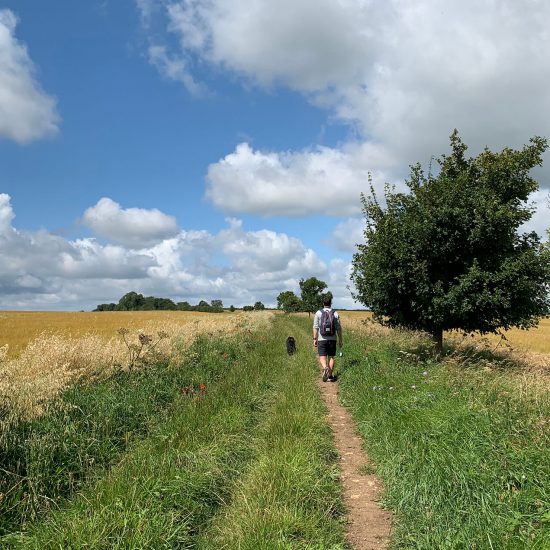
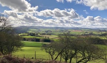
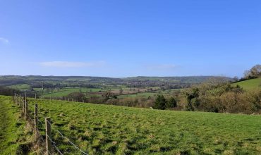
Hawkesbury Upton, in the Cotswolds, is a little village surrounded by countryside, so there’s no shortage of footpaths to explore here! This circular route is just over 4 miles, mostly through crop fields, and is quite flat and easy-going, with no stiles. We did not encounter any livestock when we visited in August, however, sheep have been spotted in one field in December (marked on the map), so please double-check the fields before you enter and keeps dogs under control. There was also one field we walked through with horses at the beginning.
Walking directions
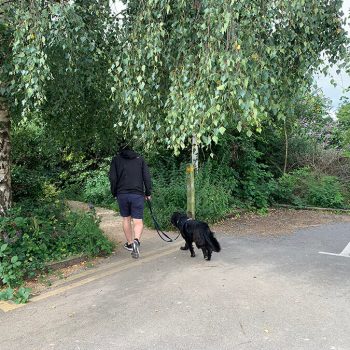
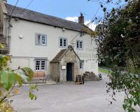
1. Start from Hawkesbury Upton Village Hall on High Street (GL9 1AU). Cross over the road and head towards the Beaufort Arms pub (dog friendly), walk into the pub car park and in the right hand corner at the end, you will see a small footpath, follow this path, with some house gardens on your left and the cricket ground on your right. At the end of this path you will come into a field.
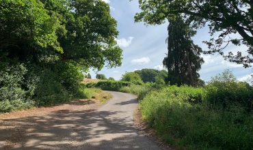
2. Walk left, around the outside of the field, following the path until you reach the gate on the opposite side. The next field you have to walk through had an electric fence and horses (at some times in the year), but the landowner has put in a very accessible gate to pass through and the horses did not bother us at all. Once you exit the field via the gate, you will need to cross the lane, where you should directly opposite see a wide well-used track. Walk along this track, through the field. There were no sheep when we visited in August, however, sheep have been seen in the field in December, so make sure you check the fields and keep dogs under control. When we visited we were lucky enough to walk through tall fields of sweetcorn, which looked amazing.
3. Follow this path through the next few fields, one field was particularly overgrown at one point, so it might be harder for young kids (dogs love it though!) Eventually, there will be a small woodland on your right, walk past the trees until you see the path open up on your right. This track (Bodkin Hazel Lane), is a lot more substantial and easy to walk on.
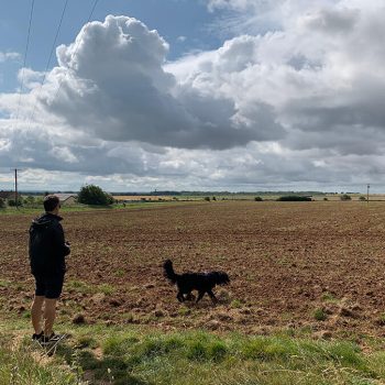
4. Follow this path until you reach the end of the field and Highfield Lane. In the same direction, walk down the lane for a moment until you see the sign for Monarch’s Way through the woodland on your right. Follow the well-trodden path until you see a signpost for the Cotswold Way which takes you up a small hill on your right. After the woodland, walk through the gate into the field which asks for dogs to be on lead (there was no sign of livestock at all when we visited).
5. Stay on the Cotswold Way, which will, after a couple of fields, run parallel to Highfield Lane (with a hedgerow separating them), we would recommend staying on this path as traffic does come down this lane. This path ends it meets Highfield Lane, but veer left and stay on the gravelled track (Bath Lane).
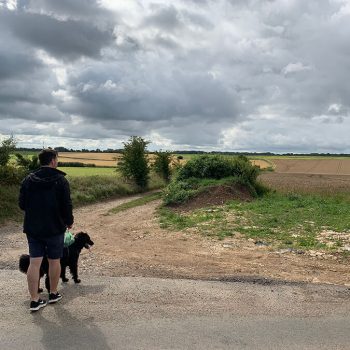
6. Stay on this path for a while, walking by 3 fields, where you will begin to see the village in the distance. At the last edge of the 3rd field, you will see a row of trees lining a track, turn right here and follow the trees. At the end of the path, you should recognise the first field you walked in, but you are on the other side of it! Follow the path around until you reach the cricket green. Exit the cricket green near the pavilion and you will be back on the path that leads to the Beaufort Arms car park.
Address
Hawkesbury Upton Village HallHigh Street
Hawkesbury Upton
GL9 1AU
Parking
Park at the village hall, or on High Street (but park considerably because residents park here), or if you are visiting the Beaufort Arms, you can use their car parkPaws for thought
Horses in one field near the beginning. Sheep have been spotted in one of the fields near the beginning, so please double check all fields before you enter them with your dog.Pawfect partner
Leave a comment...
As this is a community website, please keep your comments helpful and positive, thanks!